


THE SPECTACULAR thunderstorms that lit up the night sky in the early hours of Wednesday morning may be seen again this afternoon as the UK braces itself for potentially record-breaking temperatures.
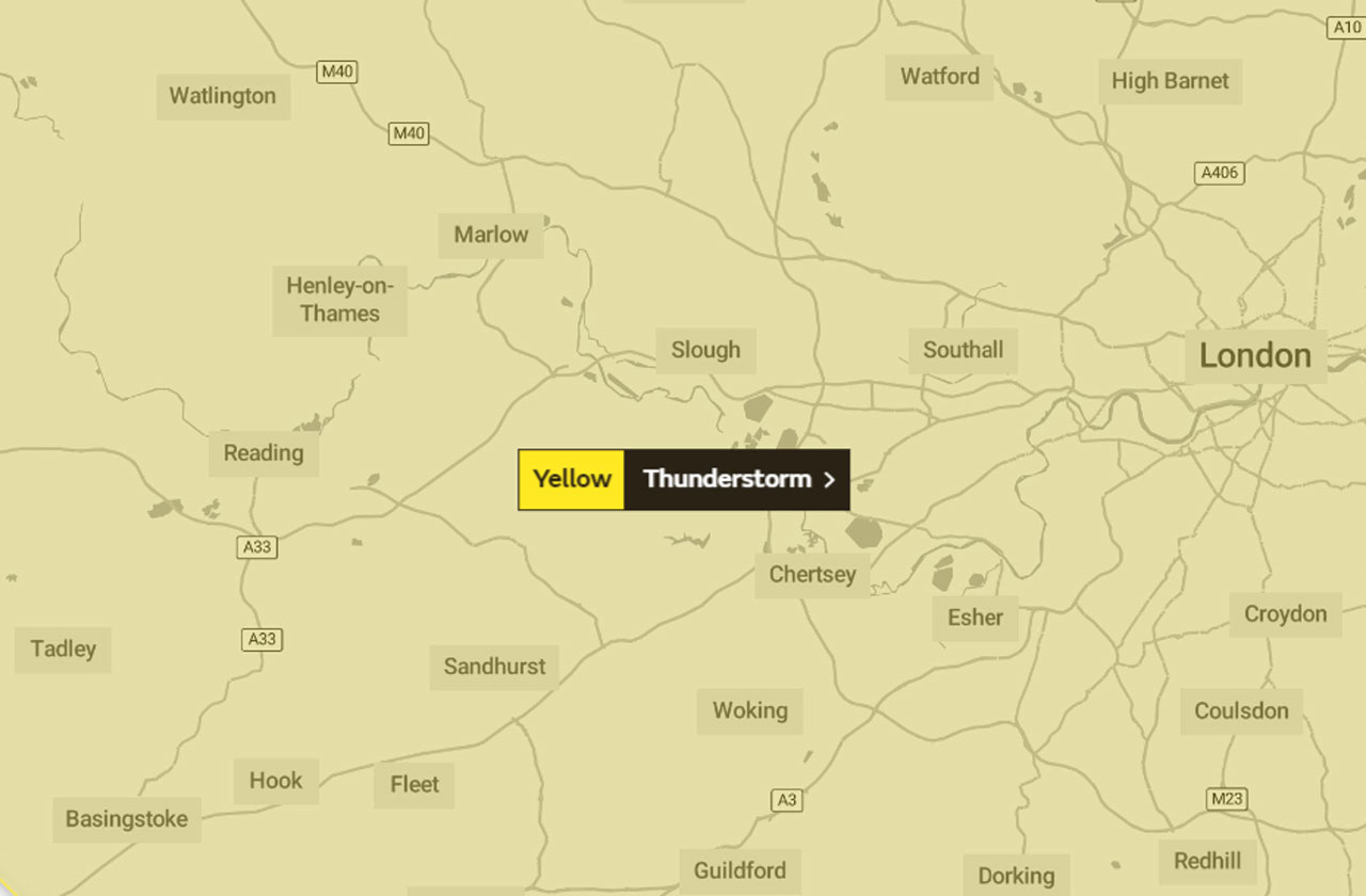
The Met Office has issued a yellow warning for thunderstorms from 3pm today all the way through to 4am tomorrow.
Much of the UK is covered under this warning for scattered thunderstorms that could cause sudden flooding, power cuts and delays or cancellations to train and bus services.
But weather watchers may be disappointed. Like snow, thunderstorms can be difficult to predict in advance and while much of the UK is covered under this warning, they may not see any rain or thunder at all.
Rain is currently forecast – at a 30% probability – for 8pm this evening.
Under the warning, the Met Office says: “While some areas, particularly in the south of the warning area may well avoid the storms, where they do occur they could produce 20-30 mm of rain in less than an hour, along with frequent lightning, hail and gusty winds.”
The warning further adds that the main focus for the storms could be northern England and southern and eastern parts of Scotland.
Temperatures throughout today will be exceptionally hot. It is possible that parts of the country could see temperatures surpass the current record of 38.5ºC, although the Met Office thinks that in Wokingham the mercury will reach its height of 34ºC at 4pm.
At the time of writing, it is 25ºC, but temperatures will climb steadily throughout the morning, reaching 30ºC by lunchtime. It will be a sweltering 29ºC at 7pm and a stifling 26ºC at 9pm.
By 11pm, it will be a balmy 23ºC – temperatures then drop down to 19ºC by dawn tomorrow, with daytime being a cooler 21ºC.


